Rocky Waterholes Township Proper, [Rocklea], 1885 (Map of the Week)
By JOL Admin | 1 February 2019
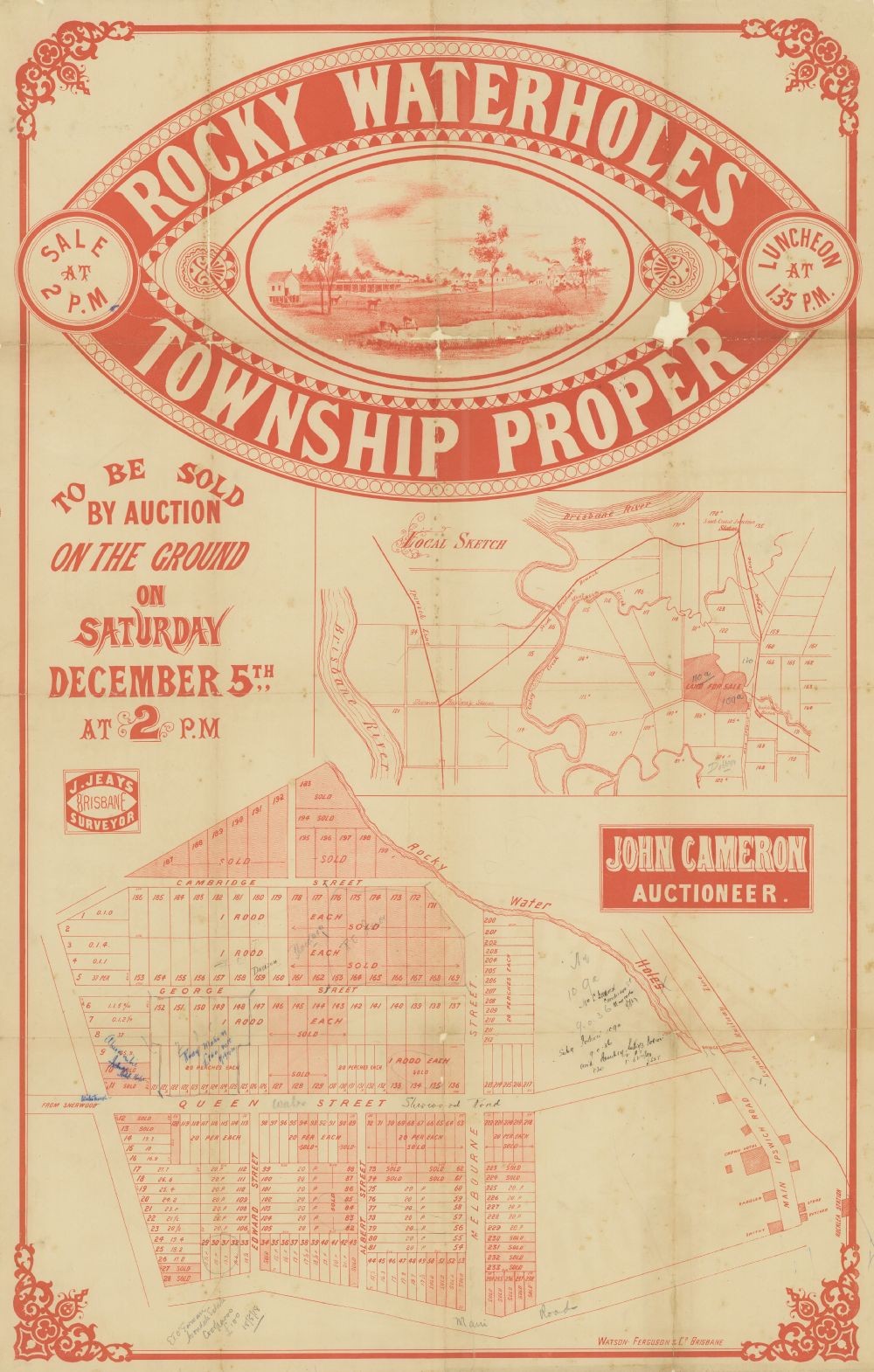
This real estate map from 1885 advertises allotments of land for sale at the Rocky Waterholes Township Proper, today part of the Brisbane suburb of Rocklea. The allotments were situated along Cambridge Street, Melbourne Street, Albert Street, Queen Street (now Sherwood Road), George Street (now Inskip Street), Edward Street (now Carisbrook Street) and three unnamed roads (now Golf Links Road, Elkedra Avenue and Medway Street). Allotments shaded in red were sold during previous sales.
Prior to the sale extensive publicity was published in Brisbane newspapers.
"The whole of the land is of a slightly undulatory formation, which, while providing ample outfall for drainage purposes, leaves every inch of every allotment available for building or garden purposes...The traffic to and from Oxley and Sherwood, and the many thickly-populated places in those localities is already very great, and must become vastly increased now that the Logan Railway Line is completed. The Rocky Waterholes Station on that line is immediately opposite this township, and insures to this locality an amount of life and business which will unquestionably increase the value of all lands in the vicinity not less than one hundredfold. (Queensland Figaro and Punch, 21 November 1885, p.38)
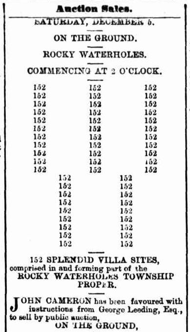
The auction was to have taken place on the afternoon of 5 December 1885.
A higher resolution image of this map can be viewed and downloaded through our One Search catalogue.
Prints of this map are also available through the Library Shop.
You can browse a compendium of our previous maps of the week on our blog.
Browse our collection of digitised real estate maps on Historypin.
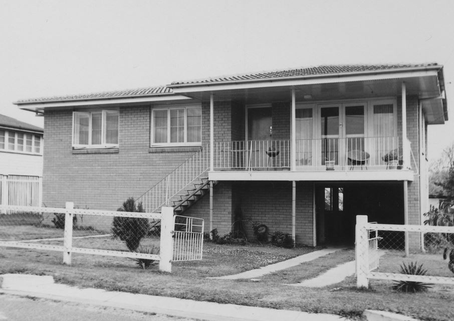
Find your Rocklea home in the Frank and Eunice Corley collection
From the 1960s to the 1970s, Frank and Eunice Corley drove the suburban streets of Queensland in their pink Cadillac, taking photographs of houses and selling them to homeowners. A database containing over 61,000 photographs can now be searched and viewed online. There are 309 photographs for the suburb of Rocklea.
The Corley collection is the focus of State Library of Queensland’s latest exhibition, Home: a suburban obsession, which runs from 7 December 2018 until 14 July 2019.
Myles Sinnamon - Engagement Officer, State Library of Queensland
Comments
Your email address will not be published.
We welcome relevant, respectful comments.