Road guide for the 1930's Queensland motorist
By Myles Sinnamon, Project Coordinator, State Library of Queensland | 4 March 2016
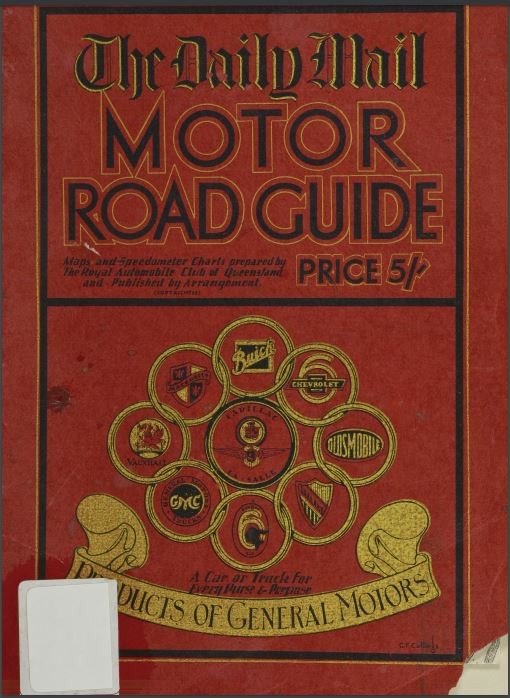
Before the dawn of technological wonders such as GPS and the Internet, the humble road guide ruled supreme as the most effective tool for motorists planning a long distance journey. In the early 1930's one such guide was The Daily Mail motor road guide.
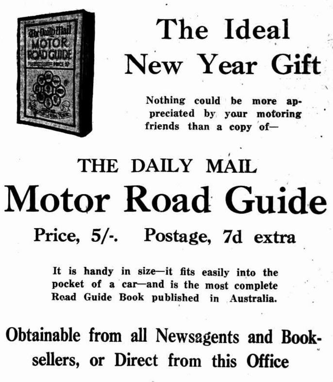
Its own advertising proclaimed it to be the most complete road guide published in Australia . It also promoted the fact that the guide was "handy in size", making considerably easier to use than unwieldy fold-out maps as depicted in the comic below...

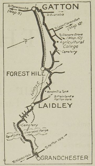
The guide contains 145 maps of various planned travel routes such as Brisbane to Southport via Beechmont; Brisbane to Ipswich and Lake Manchester; Ipswich to Gatton; and Clermont to Charters Towers. The road guide also includes maps to destinations in New South Wales and Victoria.
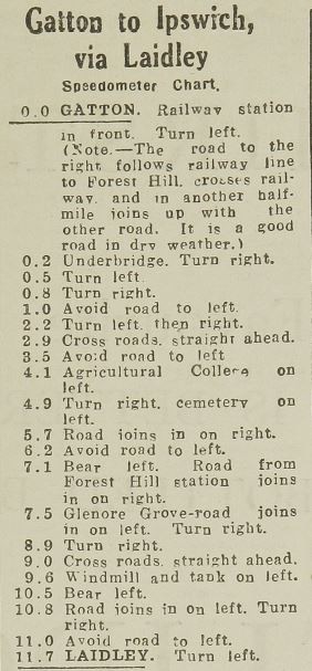
Accompanying each map is a "speedometer chart" (probably more accurately an odometer chart), which provides the motorist directions according to how far they have traveled. Along with street names, the chart also included landmarks such as schools, hotels and cemeteries.
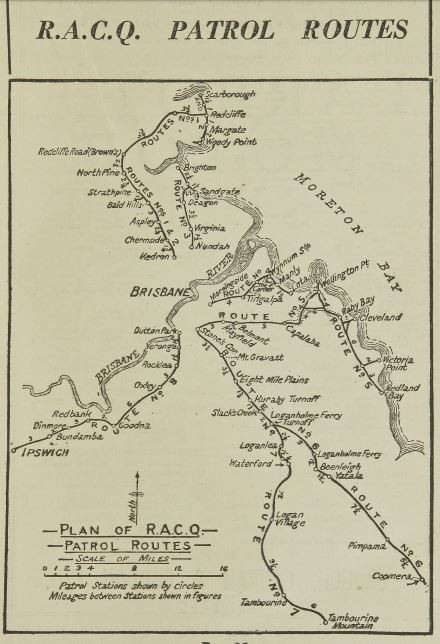
According to the guide the maps and charts were compiled by the Royal Automobile Club of Queensland (RACQ). A map of RACQ patrol routes and call stations for weekend motorists is also included.
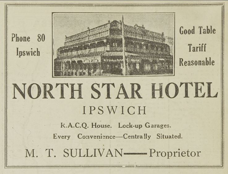
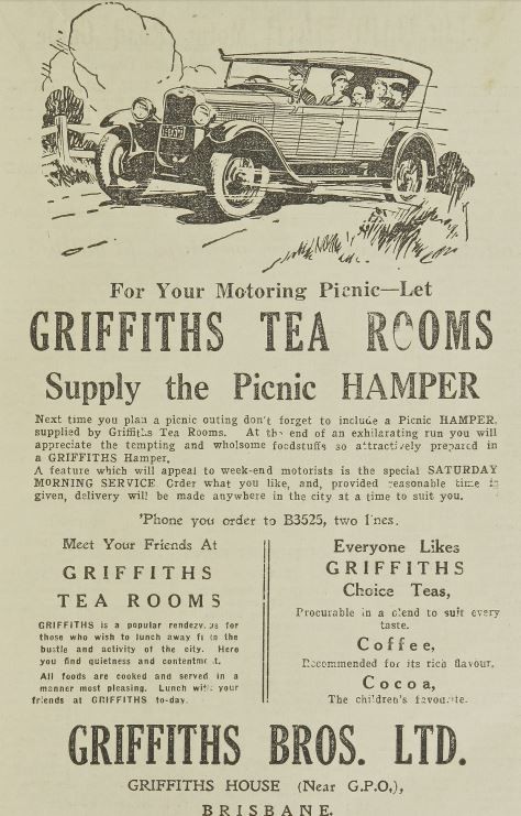
The Daily Mail motor road guide also contains interesting advertisements for this period. The majority of these advertisements (bar the ones for whisky and beer) are aimed at travelling motorists, such as the one for the North Star Hotel in Ipswich that had lock-up garages for their guests, and one for the Griffiths Tea Rooms who supplied picnic hampers.
The Daiy Mail motor road guide (c.1930's) has been digitised and can be viewed in its entirety via our One Search catalogue.
Happy motoring!
Myles Sinnamon - Project Coordinator, State Library of Queensland
Comments
Your email address will not be published.
We welcome relevant, respectful comments.