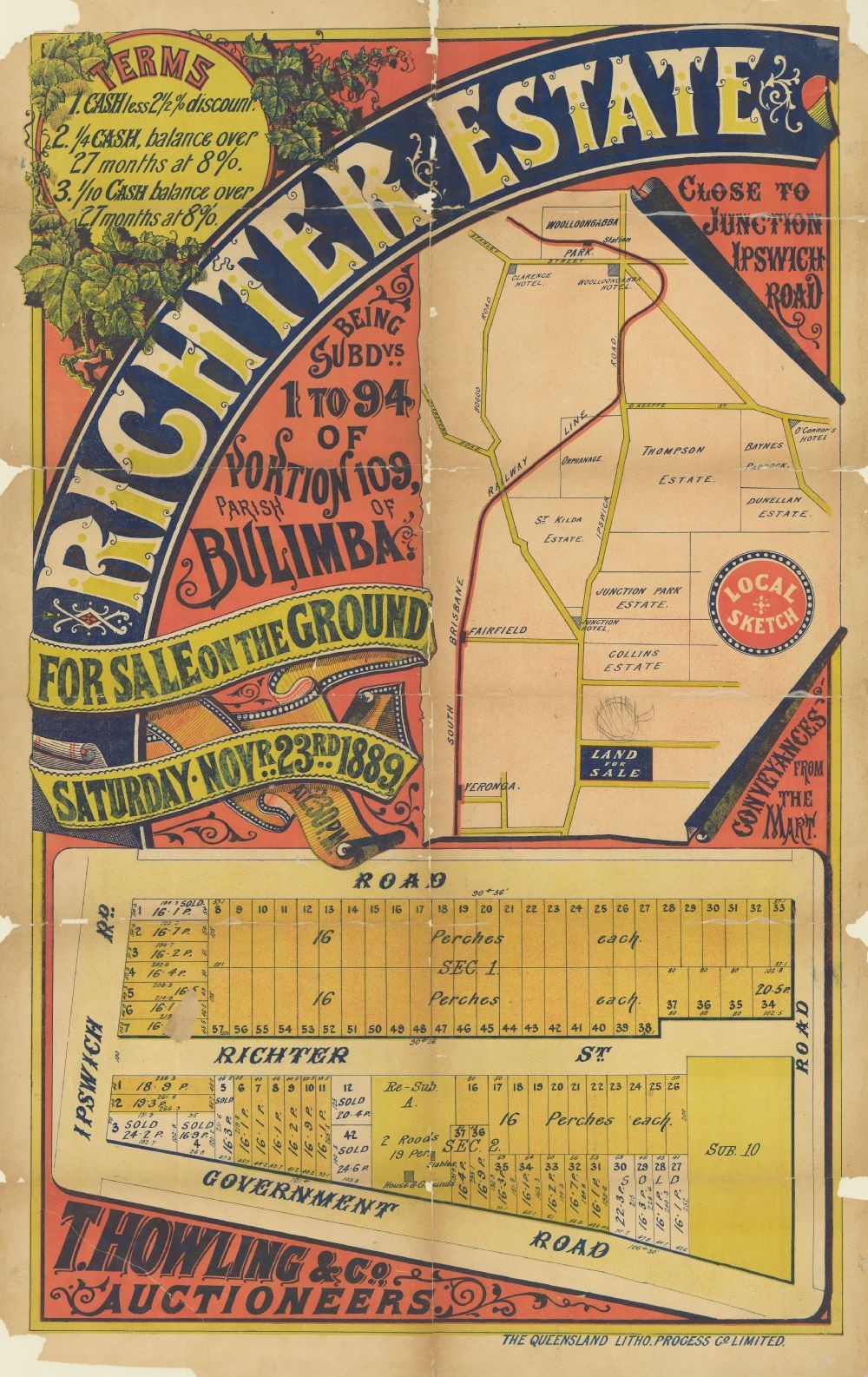
This real estate map from 1889 advertises land for sale at the Richter Estate, located in the Brisbane suburb of Annerley. The allotments were situated along Ipswich Road, Richter Street (now Devon Street) and two unnamed roads (Ferndale Street and Cracknell Road).
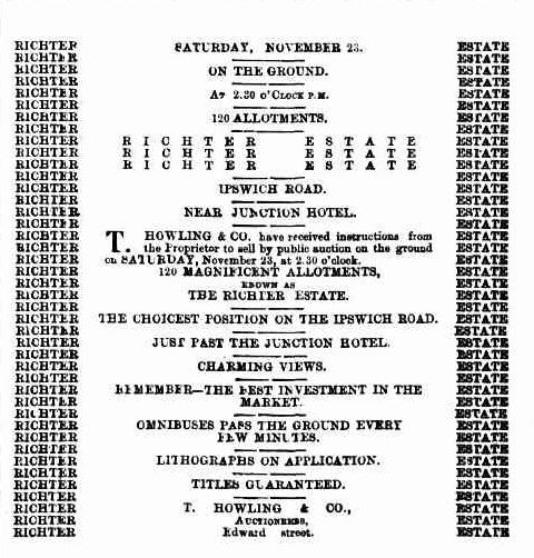
Extensive publicity was published in Brisbane newspapers.
"This splendid estate situated about two and a half miles from the city, and commands lovely views of the Brisbane River and surrounding districts. Omnibuses pass the ground every few minutes." (The Telegraph, 21 November 1889, p.8)
A higher resolution image of this map can be viewed and downloaded through our One Search catalogue.
Prints of this map are also available through the Library Shop.
You can browse a compendium of our previous maps of the week on our blog.
Browse our collection of digitised real estate maps on Historypin.
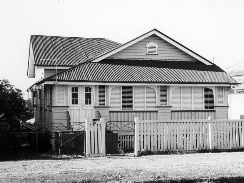
Find your Annerley house in the Frank and Eunice Corley collection
From the 1960s to the 1970s, Frank and Eunice Corley drove the suburban streets of Queensland in their pink Cadillac, taking photographs of houses and selling them to homeowners. A database containing over 61,000 photographs can now be searched and viewed online. There are 1,226 photographs for the suburb of Annerley.
Myles Sinnamon - Engagement Officer, State Library of Queensland
Comments
Your email address will not be published.
We welcome relevant, respectful comments.