Blog
Some of the John Oxley Library's most significant maps and charts, relating to the exploration and delineation of the land mass now known as Australia, are presently on display at the State Library's Talbot Family Treasures Wall, Level 4.
The exhibition showcases some thirty rare maps, globes and related material, including:
- M. Flinders, The complete map of Australia (PART 1) from charts Captain Flinders's 'A voyage to Terra Australis' London: G.& W. Nichol, 1814.
- R.Daintree, Map of Queensland shewing mineral areas, London: Sir Joseph Causton & Sons, .
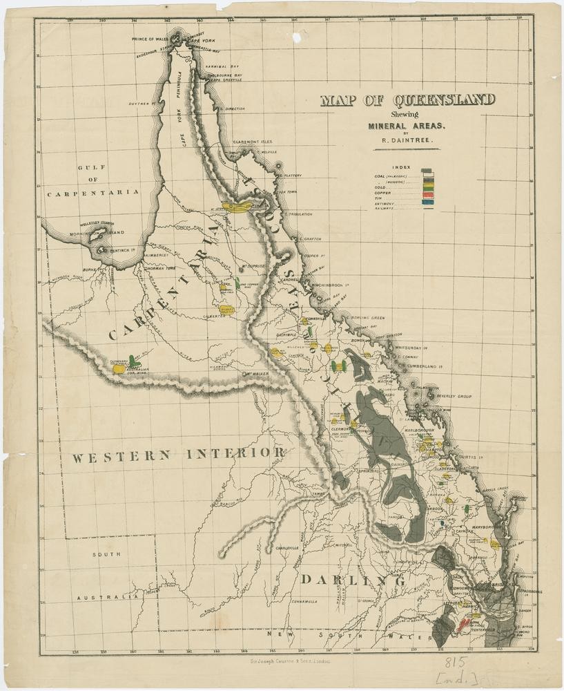
R. Daintree, Map of Queensland shewing mineral areas, London: Sir Joseph Causton & Sons,.
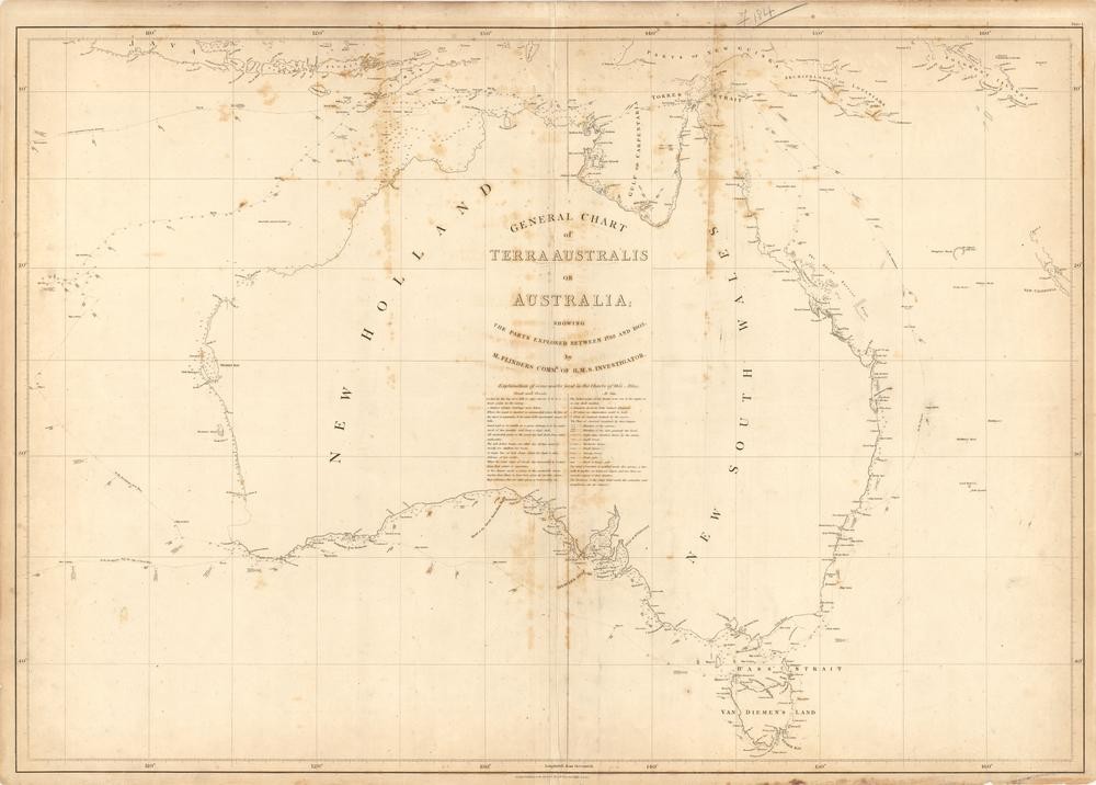
M. Flinders, The complete map of Australia (PART 1) from charts Captain Flinders's 'A voyage to Terra Australis' London: G.& W. Nichol, 1814.
The exhibition is on show until 22 March 2009.
Comments
Your email address will not be published.
We welcome relevant, respectful comments.
Please read our Comment Policy before commenting.
We also welcome direct feedback via Contact Us.
You may also want to ask our librarians.