East Woolloongabba Estate, [East Brisbane], 1884 (Map of the Week)
By JOL Admin | 4 April 2019
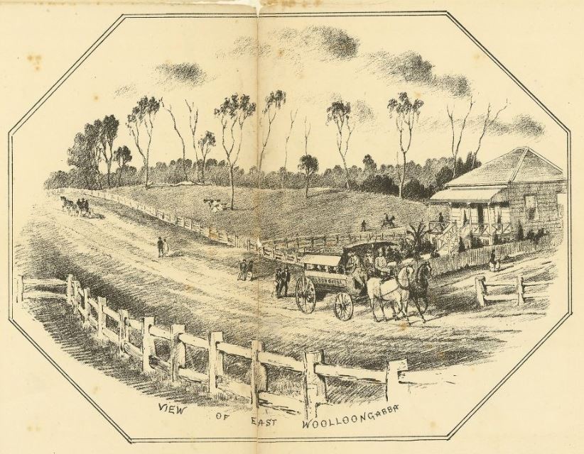
This real estate map from 1884 advertises land for sale at the East Woolloongabba Estate (Darrach's Paddock), now part of the Brisbane inner-city suburb of East Brisbane. Woolloongabba was incorrectly spelled on the map.
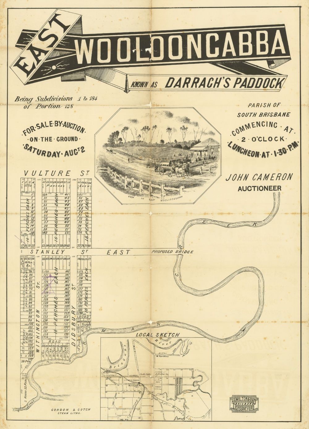
East Woolloongabba Estate, 1884. John Oxley Library, State Library of Queensland
The allotments were situated along Didsbury Street, Withington Street, Vulture Street (now Vulture Street East) and Stanley Street (now Stanley Street East).
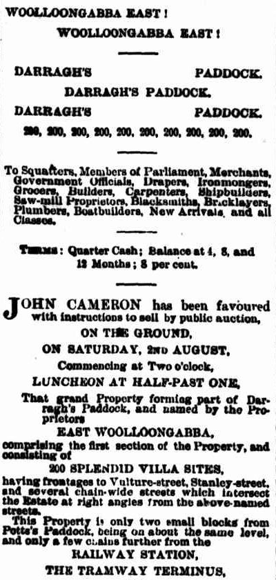
A public auction was held at the site on the afternoon of 2 August 1884. The results of the sale were published in the Brisbane Courier newspaper.
"Mr John Cameron reports a very successful sale at East Woolloongabba on Saturday. There was a large number of persons on the ground and the bidding was spirited and brisk. 82 lots were sold in all for a sum of between £2500 and £3000". (Brisbane Courier, 4 August 1884, p.4)
A higher resolution image of this map can be viewed and downloaded through our One Search catalogue.
Prints of this map are also available through the Library Shop.
You can browse a compendium of our previous maps of the week on our blog.
Browse our collection of digitised real estate maps on Historypin.
Find your East Brisbane house in the Frank and Eunice Corley collection
From the 1960s to the 1970s, Frank and Eunice Corley drove the suburban streets of Queensland in their pink Cadillac, taking photographs of houses and selling them to homeowners. A database containing over 61,000 photographs can now be searched and viewed online. There are 508 photographs for the suburb of East Brisbane.
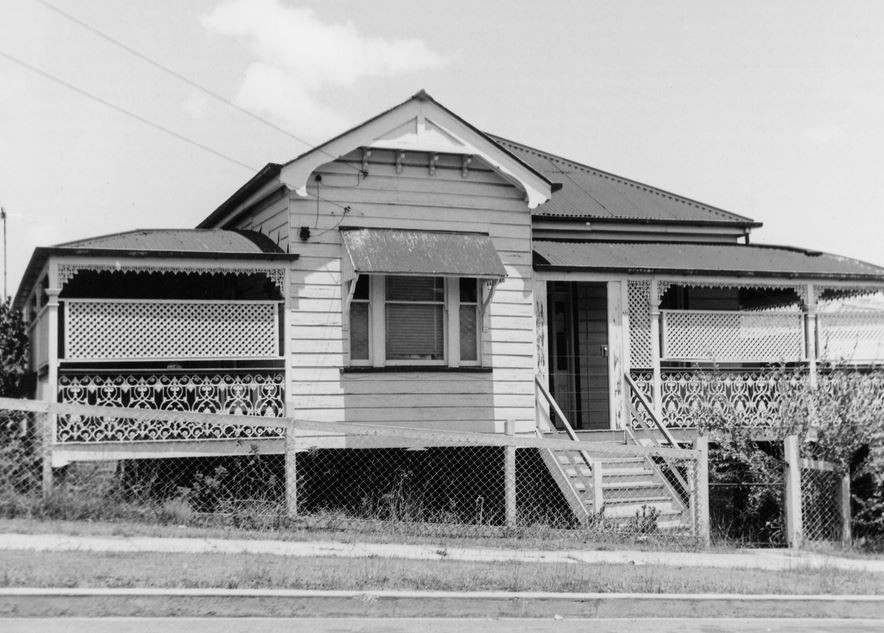
The Corley collection is the focus of State Library of Queensland’s latest exhibition, Home: a suburban obsession, which runs from 7 December 2018 until 14 July 2019.
Comments
Your email address will not be published.
We welcome relevant, respectful comments.