State Library of Queensland has an extensive collection of historical maps of Queensland, some of which have been digitised and can be viewed online.

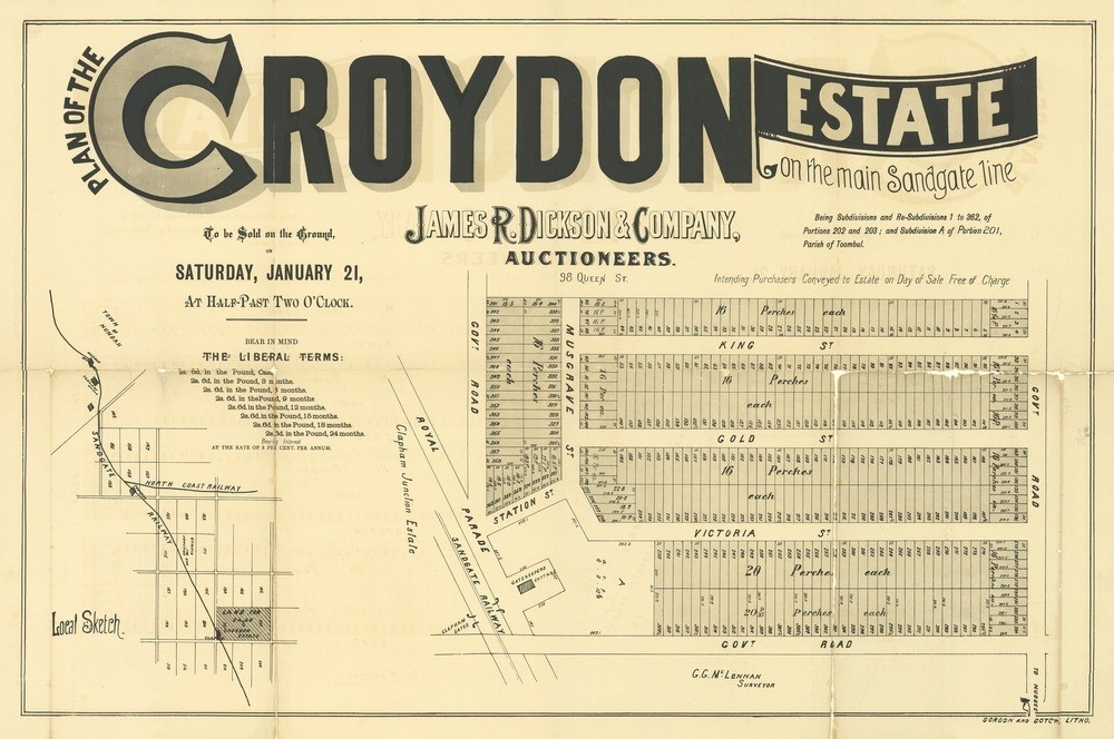
Plan of the Croydon Estate on the main Sandgate line, , 1888. John Oxley Library, State Library of QueenslandThis real estate map from 1888 advertises 362 allotments of land for sale at the Croydon Estate in the Brisbane suburb of Banyo. The allotments were situated along Musgrave Street, Gold Street, King Street (now Meymot Street), Victoria Street (now Froude Street), Station Street (now Kennaway Street) and three unnamed government roads (now St Vincents Road, Tufnell Road and Elliott Road).
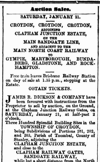
Prior to the sale extensive publicity was published in Brisbane newspapers.

Advertisement, The Telegraph (Brisbane), January 19, 1888
"The country surrounding Croydon is most charming in character, suitable for Gentlemen's Villa Residences, gardens, orchards, &c., &c.; composed of rich chocolate soil, being a continuation of the celebrated Red Ridge at Nudgee, and commanding views of the Bay and surrounding country, rich in sylvan scenery of the most picturesque character." (The Telegraph, January 19, 1888)
A public auction was supposedly held at the site on the afternoon of January 21, 1888. No information regarding the results of the auction appear to have been published in Brisbane newspapers.
A higher resolution image of this map can be viewed and downloaded through our One Search catalogue.
Prints of this map are also available through the Library Shop.
You can browse a compendium of our previous maps of the week on our blog.
Myles Sinnamon – Project Coordinator, State Library of Queensland
Comments
Your email address will not be published.
We welcome relevant, respectful comments.