Navigating Brisbane with Harris' street and road directories, 1916-17
By JOL Admin | 18 December 2018
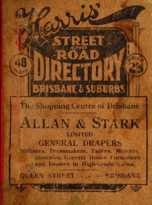
Front cover of Harris' street and road directories, 1917 edition. John Oxley Library, State Library of Queensland
For those of us of a certain age, before the advent of satellite navigation and Google Maps, printed street directories were a vital tool for finding our way around Brisbane and its surrounds. One such early publication was the 1916 and 1917 edition of Harris' street and road directories.
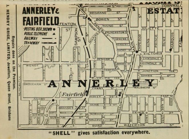
Map of the Brisbane suburb of Annerley. Harris' street and road directories, 1917 edition. John Oxley Library, State Library of Queensland
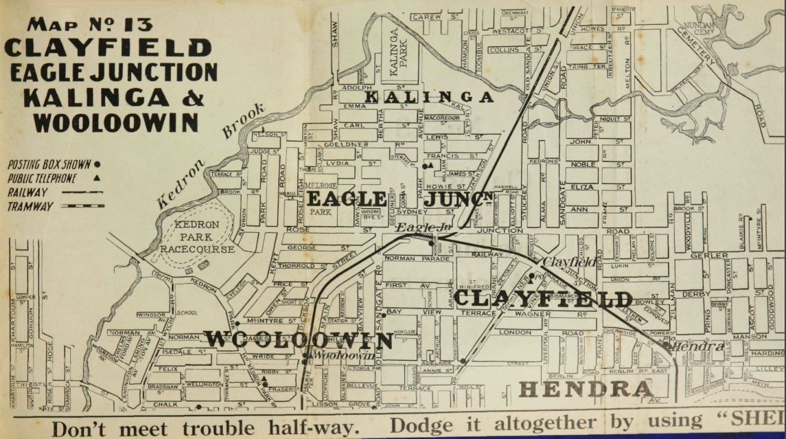
The 1916 edition includes 41 maps and covers a radius of 6 to 6.5 miles (9.6 to 10.4 km) from the CBD and extends as far as Virginia to the north, Mount Cootha to the west, Yeerongpilly to the south and Eagle Farm to the east. For the 1917 edition, an additional 7 maps were added covering Sandgate, Brighton, Deagon, Wynnum, Wynnum South, Manly and Lota, Sherwood and Corinda and Oxley. Aside from showing names and position of streets, each map pinpoints the locations of post boxes and public telephone boxes.
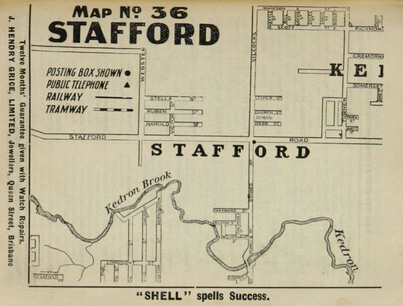
Map of the Brisbane suburbs of Stafford. Harris' street and road directories, 1917 edition. John Oxley Library, State Library of Queensland
In an article about the release of the 1916 directory, the Daily Standard newspaper made an observation about the naming of Brisbane's streets, which was to be remedied in the coming years.
"A glance through the book shows the absurd lengths to which the multiplicity of names has been carried, and the total lack of imagination characteristic of most of the titles bestowed upon our thoroughfares. Thus we find such names as William, John, and George repeated no less than 16 times each, the significant Short street figuring 15 times, while James follows with a creditable tally of 14...". (Daily Standard, 6/5/1916)
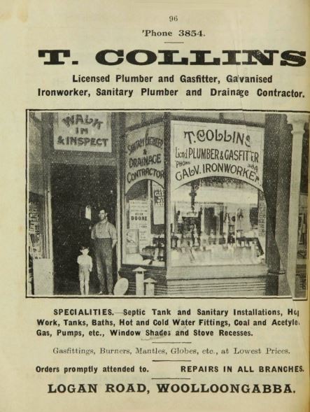
The directories also contain an wide array of illustrated advertisements for Brisbane businesses.
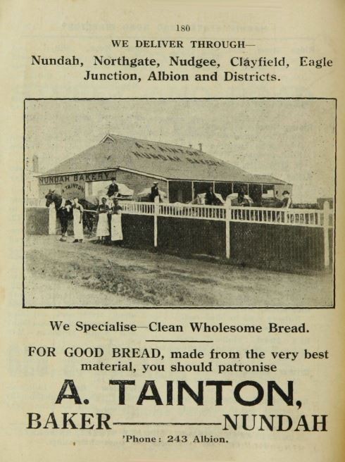
Advertisement for A.Tainton, baker in Nundah. Advertisement of T.Collins, plumber and gasfitter in Woolloongabba. Harris' street and road directories, 1917 edition. John Oxley Library, State Library of Queensland
The 1916 and 1917 editions of Harris' street and road directories have been digitised and are available to view online through our One Search catalogue.
Myles Sinnamon - Engagement Officer, State Library of Queensland
Comments
Your email address will not be published.
We welcome relevant, respectful comments.