Ham's map of the city of Brisbane, 1863 (Map of the Week)
By JOL Admin | 21 January 2016
State Library of Queensland has an extensive collection of historical maps of Queensland, some of which have been digitised and can be viewed online.
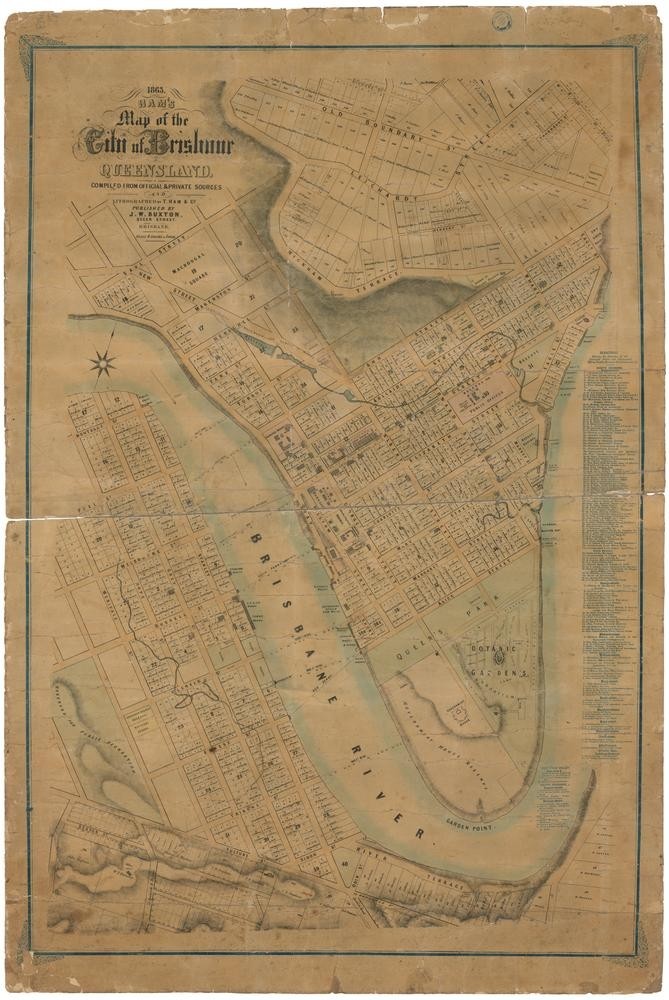
Ham's map of the city of Brisbane, Queensland, 1863. John Oxley Library, State Library of Queensland
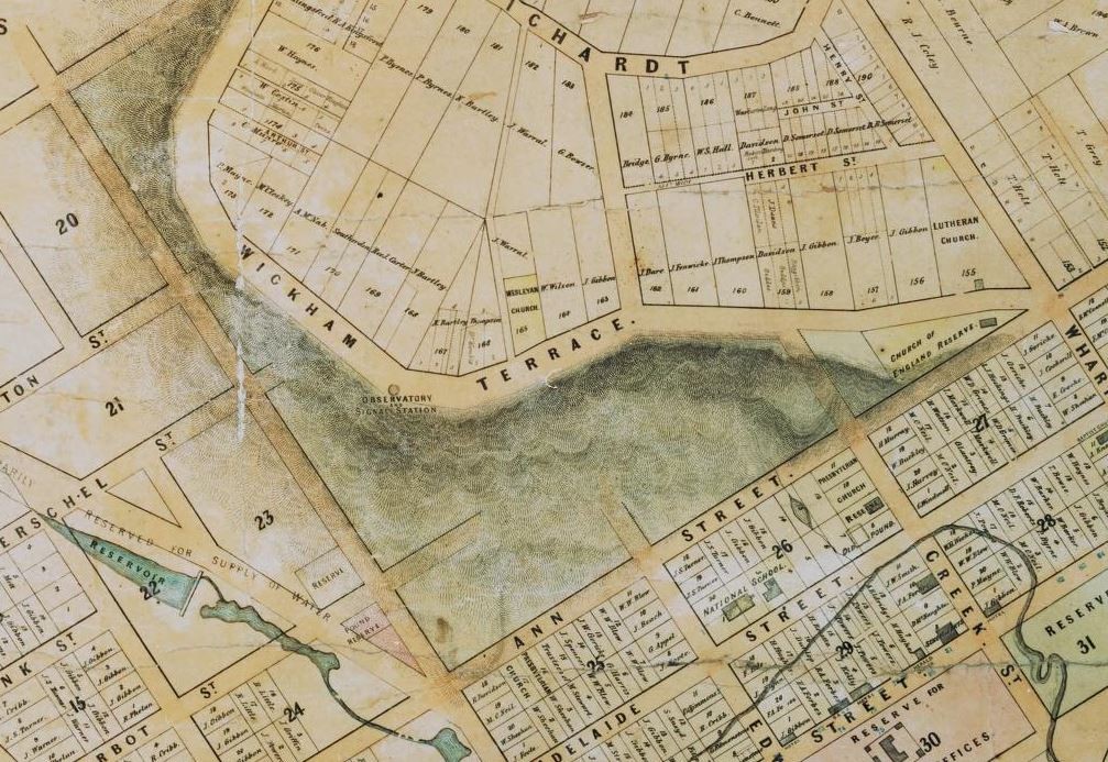
This 1863 map from State Library of Queensland's collection details the city of Brisbane, including parts of Spring Hill, South Brisbane and Kangaroo Point. It was drawn by cartographers Thomas Ham and Co. and published by J.W. Buxton. The map provides a directory allowing the user to easily locate businesses, government buildings, churches and other landmarks.
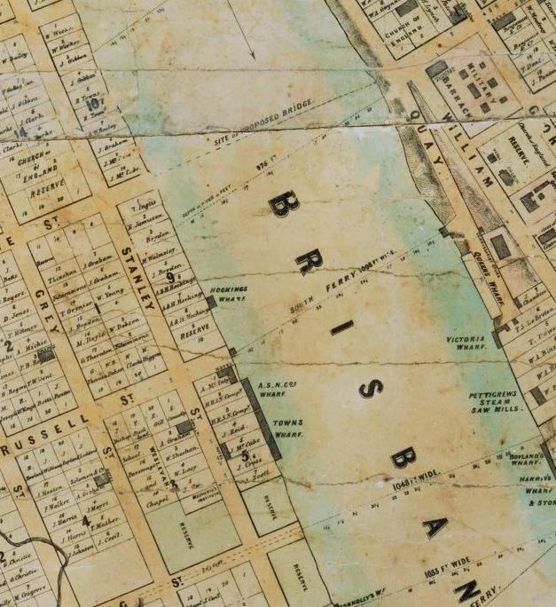
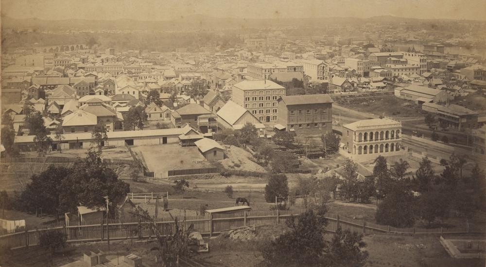
Present day South Bank (left) and North Quay (right) - Ham's map of the city of Brisbane, Queensland. John Oxley Library, State Library of Queensland
At the time of its release the map was commended by the Brisbane Courier in a brief article on July 30, 1863 -
"As a work of art it reflects great credit upon the lithographers, Messrs T. Ham and Co., of George Street, and as a map for reference we can confidently recommend it... As it is published at a low price, it is only reasonable to expect that the new map will find its way into every place of business in the city, more especially as it has been published at great expense by a Brisbane firm."
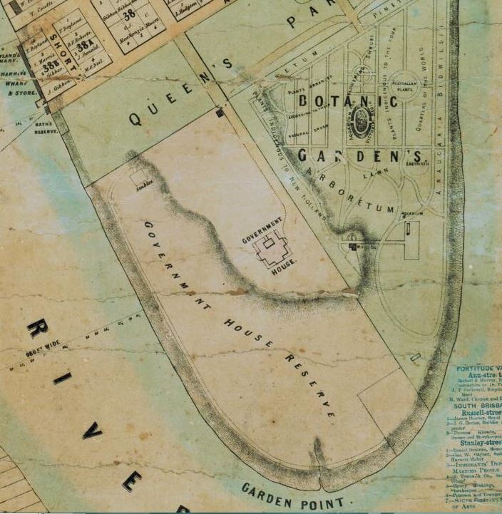
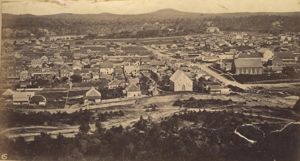
Botanic Gardens, Government House and Queen's Park - Ham's map of the city of Brisbane, Queensland. John Oxley Library, State Library of Queensland
You can view a digitised version of Ham's map of the city of Brisbane via our One Search catalogue.
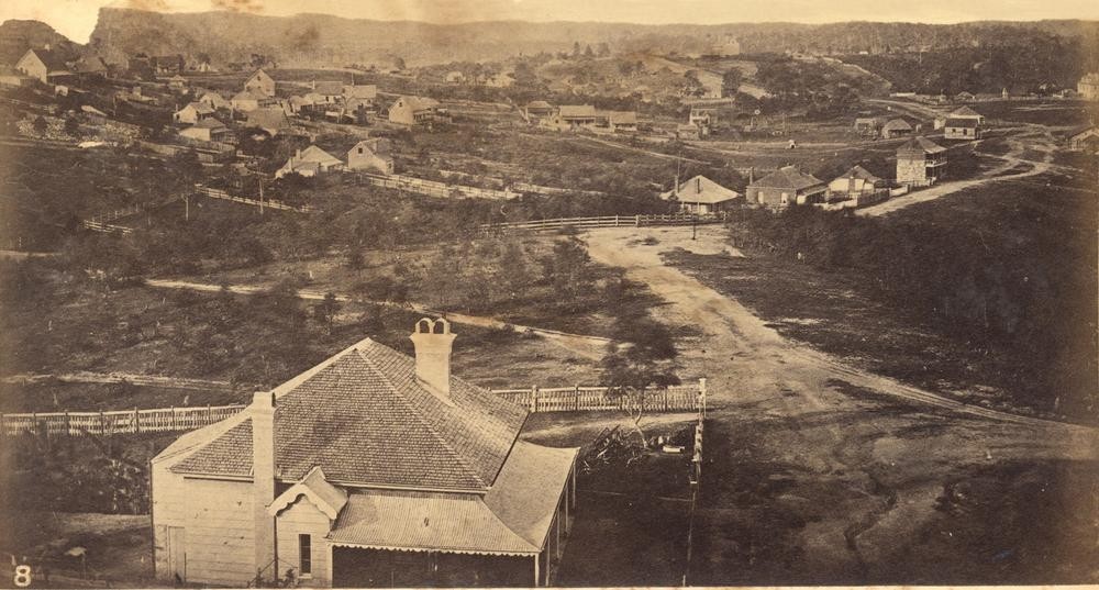
Sadly many of Brisbane's early locales have disappeared as our cityscape has grown, however State Library of Queensland's extensive collection of historical photographs allows you a glimpse back into our past.
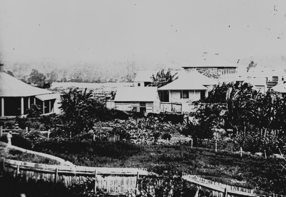
View looking towards the first military barracks from George Street in Brisbane 1863. Photograph taken from George Street (looking west), across the present site of Queen's Gardens and across Elizabeth Street to the military barracks that were erected in 1831. This building was demolished ca. 1885. The house on the left was the rectory of St. John's Church of England in William Street. John Oxley Library, State Library of Queensland. Neg 35580
Comments
Your email address will not be published.
We welcome relevant, respectful comments.