Blantyre Estate, [Mount Gravatt East], 1891 (Map of the Week)
By JOL Admin | 5 July 2019
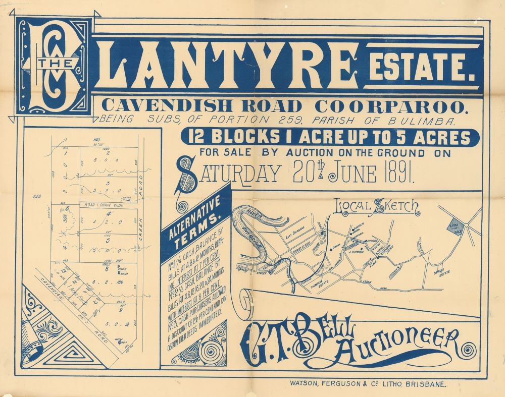
This real estate map from 1891 advertises 12 blocks of land for sale at the Blantyre Estate, in what is now the Brisbane suburb of Mount Gravatt East. The allotments were situated in the area where Cavendish Road and Creek Road meet.
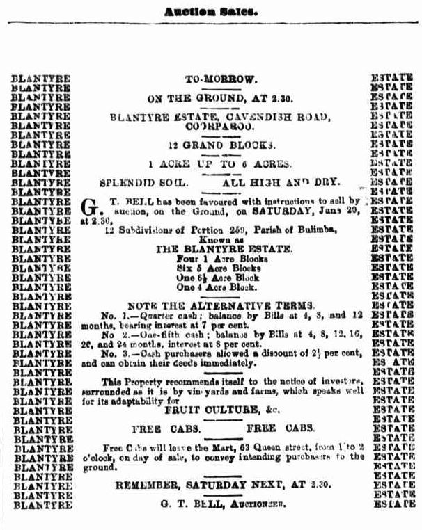
Extensive publicity was published in Brisbane newspapers.
"This property recommends itself to the notice of investors, surrounded as it is by vineyards and farms, which speaks well for its adaptability for fruit culture, &c." (The Telegraph, 19 June 1891, p.8)
A higher resolution image of this map can be viewed and downloaded through our One Search catalogue.
Prints of this map are also available through the Library Shop.
You can browse a compendium of our previous maps of the week on our blog.
Browse our collection of digitised real estate maps on Historypin.
Find your Mount Gravatt East house in the Frank and Eunice Corley collection.
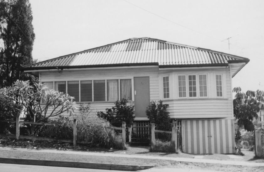
From the 1960s to the 1970s, Frank and Eunice Corley drove the suburban streets of Queensland in their pink Cadillac, taking photographs of houses and selling them to homeowners. A database containing over 61,000 photographs can now be searched and viewed online. There are 1,108 photographs for Mount Gravatt East.
The Corley collection is the focus of State Library of Queensland’s latest exhibition, Home: a suburban obsession, which runs from 7 December 2018 until 14 July 2019.
Myles Sinnamon – Engagement Officer, State Library of Queensland
Comments
Your email address will not be published.
We welcome relevant, respectful comments.