Kilcoy History Trail - Mapping the Town, 1841-2025
By Donald Walker, President of the Kilcoy District Historical Society | 19 October 2026
Kilcoy History Trail – Mapping the Town, 1841-2025 is the culmination of decades of local research by the Kilcoy District Historical Society, bringing together the stories of more than 140 sites.
Guest blogger: Donald Walker, President of the Kilcoy District Historical Society
In August 1841, two Scottish brothers Evan and Colin Mackenzie selected 35,000 acres central to the Kilcoy district. It was also the traditional lands of the Dungidau clan, one of five Aboriginal tribes who inhabited land along the Conondale Range west to the upper Brisbane River, along the Maleny - Mapleton escarpment and along the southern area of the D’Aguilar Range. Today, the residents of Kilcoy acknowledge the Jinibara or ‘lawyer cane people’. To the traditional owners Kilcoy was known as ‘Bumgur’ meaning ‘blue cod’.

Looking towards William Street (formally Drovers Lane), Kilcoy in 1913. Photo courtesy of Kilcoy District Historical Society Inc.
A new settlement
Government Surveyor William Embrey Hill was first appointed to survey the new settlement of Hopetoun in 1888. Sections 1 to 12 were aligned in a grid pattern south of William Street and accessed along Mary, Ethel, Rose, Royston and Graham Streets.
Several years later Portion 9A was excised from Kilcoy Station by Susan Hope, wife of Capt. Louis Hope, before her death in 1901. It was a long narrow block of land divided into 39 sublots on the north side of William Street (see image above). Hope Street at the southern end was named after Capt. Louis Hope, who spent much of his time living at ‘Ormiston House’, Cleveland instead of Kilcoy Station.
The name Hopetoun was changed to Kilcoy in 1907.
Business and enterprise began to flourish alongside an established post office, school, police station and court house. By 1912 the newly appointed Kilcoy Shire Council requested a second survey to open up more allotments for settlement.
Sections 13-26 sold at auction in the School of Arts building opposite the Council Chambers on April 29, 1913. A large number of the one-acre lots were purchased by established land owners and businessmen. Many of the lots were not built on for several decades.
The earliest streets were named for the children of William Butler, Manager of Kilcoy Station. The streets associated with the second survey were named after civic and pioneer leaders.
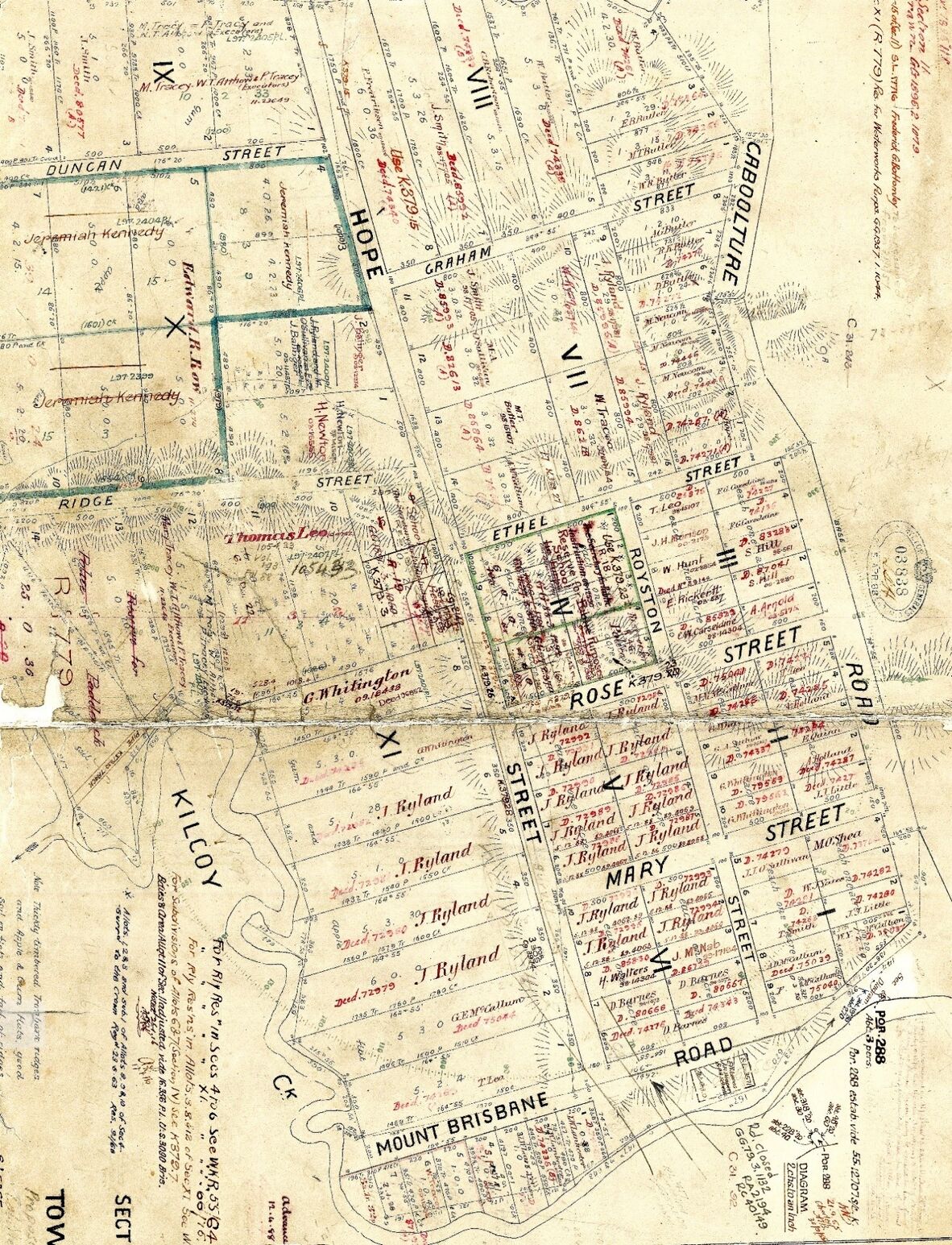
Hopetoun (Kilcoy) survey map of 1888. Photo courtesy of Kilcoy District Historical Society Inc.
A contemporary perspective
The Kilcoy District Historical Society (K.D.H.S. Inc) was formed in 1998. The task of recording and connecting the stories of the past to the small rural town began in earnest. Between 2002 and 2011, the volunteer group published five volumes in the series, Pioneers of the Kilcoy District.
In 2015, the group commenced work on a history trail with funds that were gifted from the proceeds of the popular Kilcoy Wood, Wine and Art Festivals (2000-2013). The project’s distinctive green signage, featuring complex stories, outlines the ‘built heritage’ of more than 140 sites, and the families connected to them.
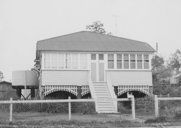
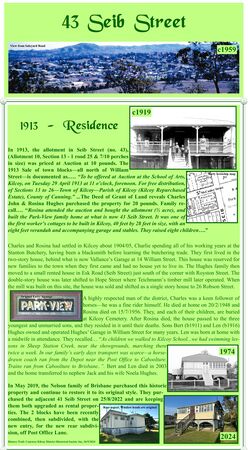
Kilcoy History Trail signage for 43 Seib Street, Kilcoy lists the history of the property from 1919 to 2025. Photo courtesy of Kilcoy District Historical Society Inc.
The success of the project was dependent on the businesses and home-owners agreeing to subsidize and display the signs marked on the town’s tourist brochure. In some cases, participants purchased title deeds to confirm ownership and dates where no other information was available.
When the town’s permanent residents started noticing the signs, it was they who suggested K.S.H.S. Inc. reproduce the signs into one publication for easier access and cross referencing. It became a reality in 2024 when Anne Scheu, former member and past Kilcoy resident agreed to dedicate 18 months on the project with Research Officer Noela Lowien.
Book launch
- Kilcoy History Trail – Mapping the Town 1841 – 2025, Volume 6 in the Pioneers of the Kilcoy District series will be launched on Saturday 7 November, 2026, from 10:30am to 12:00pm.
- Volume 6 is a permanent record of Kilcoy’s ‘built heritage’ and the people and small businesses who contributed to the social history of the town.
- The 198pg book features b/w and colour illustrations from the K.D.H.S. image collections and State Library of Queensland.
- In the introduction Anne refers to the commitment, strength of character, tradition, courage, resilience, and vision that was required to establish the town’s infrastructure. She goes on to say…
“…the history trail shines a light on the town’s leaders, forefathers and the whole community who represented a long-term future of social cohesion and belonging from the early 1900s to the present day. Volume 6 celebrates continued growth, prosperity, respect and harmony for all.”
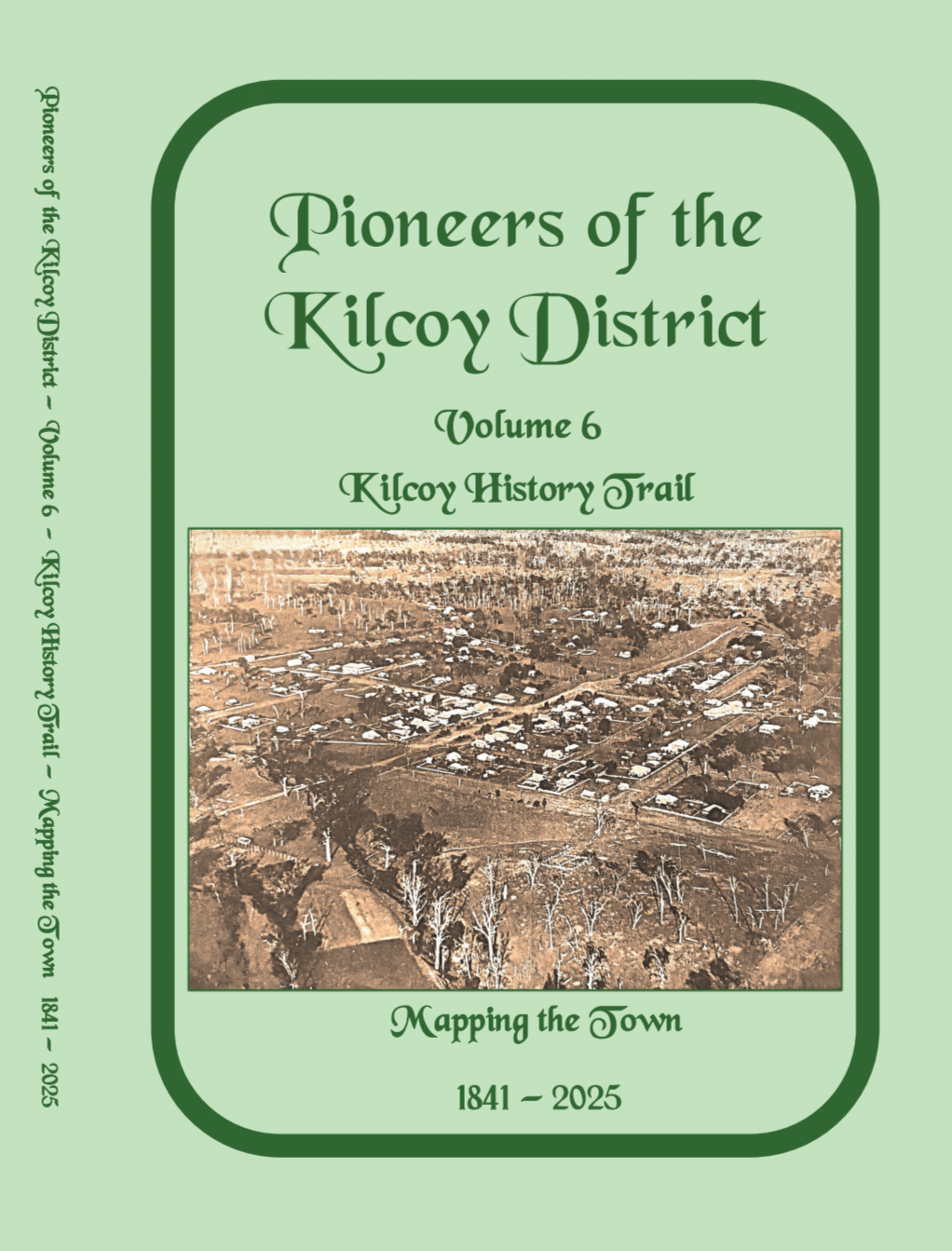
Front cover of Kilcoy History Trail - Mapping the Town, 1841-2025
Open Invitation
Anyone with a current or previous connection to Kilcoy and the community is welcome to attend the launch.
Either contact mailto:kilcoydhs@gmail.com if you are interested in coming along for morning tea at 9:30 or Register your RSVP on the Kilcoy District Historical Society Inc. website if you plan to join the official event starting at 10:30am.
Further reading
- Earlier volumes of the Pioneers of Kilcoy District can still be obtained through the Kilcoy District Historical Society Inc.
- Publications by Kilcoy District Historical Society Inc. in State Library of Queensland's collections
Comments
Your email address will not be published.
We welcome relevant, respectful comments.