- Home
- Hand-drawn map, taken from "Hemmant State School 1864-1989 : a history of the school and its community"
/
Hand-drawn map, taken from "Hemmant State School 1864-1989 : a history of the school and its community"
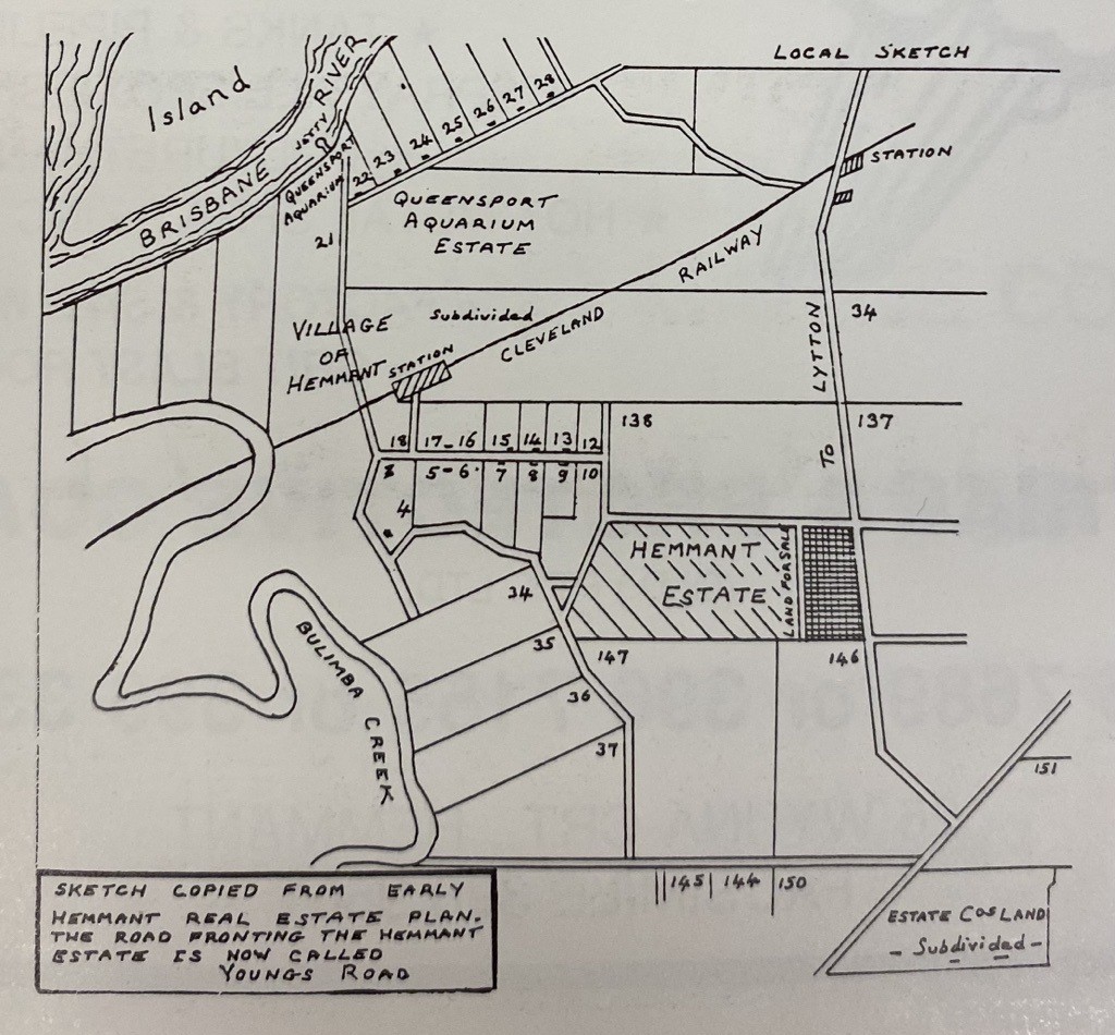
Hand-drawn map, taken from "Hemmant State School 1864-1989 : a history of the school and its community"
Attribution
Hand-drawn map, taken from "Hemmant State School 1864-1989 : a history of the school and its community", 1989, compiler Gil Perrin, John Oxley Library, State Library of Queensland.