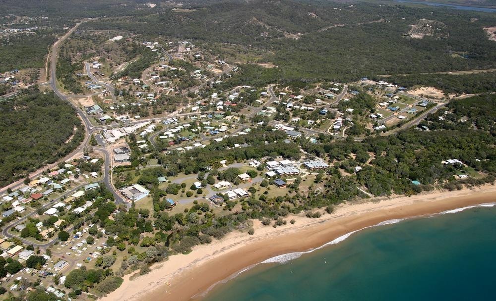
Agnes Water is a growing coastal town, located around eighty kilometres to the south-east of Gladstone. Agnes Water's beach is the most northern surf beach in Queensland, running northward to Round Head and further to Bustard Head.
Before European settlement and still today, this area of central Queensland is the ancestral homelands of the Meerooni clan, Part of the larger Gureng Gureng nation that stretched along the coast from Bundaberg to Gladstone. This area enjoyed a fertile environment that supported a huge variety of wildlife, with fishing an important economic activity. The Meerooni have a long history of culture and tradition which is still continued today by First Nations people who call that country home. More information on Queensland indigenous history and languages can be found on our interactive map here.
The town is said to have been so named in honour of a coastal schooner, the Agnes, which was lost at sea in 1873, somewhere, it is believed, out to sea from the surf beach. The area was used for sheep and cattle grazing from the 1850s especially around Turkey Beach, some distance to the north. In acknowledgement of the dangers of the area for coastal shipping, a lighthouse was constructed at Bustard Head, becoming operational in June 1868.
The Clowes family were early settlers, with Daniel Clowes leasing land in the late 1870s and remaining in the area until his death in 1891. A permanent freshwater lagoon provided a particular attraction with the Clowes establishing a homestead and large stockyards, close to the Agnes Water Beach. Sawmilling was also an important industry in the area, especially in the period leading up to 1900.
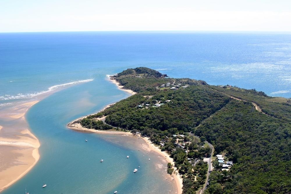
Round Hill was a popular location, with land keenly sought after for residential and other development. Its growth led to the location developing its own identity, being formally named Town of Seventeen Seventy in 1936. Located around five kilometres to the north of Agnes Water, Town of Seventeen Seventy is named so to commemorate the first Queensland landfall for Lieutenant James Cook, in May 1770. It was originally named Round Head by Matthew Flinders during his voyage along the Queensland coast. The names of the localities, Bustard Head and Turkey Beach derive from Cook and the shooting of a scrub turkey during the expedition's brief landfall.
Over time, the area became increasingly popular with holiday homes and weekenders being built, in particular from the 1970s, although the first residential subdivisions date from the 1930s.
Reflecting this growth and development, the Agnes Water Surf Life Saving Club was established in 1989, the State Primary School in 1990 and the Agnes Tavern in 1993.
Much of the area's natural beauty has been preserved through the establishment of Eurimbula National Park, covering more than 23,000 hectares and the nearby Joseph Banks Environmental Park, located on the headland originally known as Round Head.
Brian Randall - Queensland Places Coordinator, State Library of Queensland
Comments
Your email address will not be published.
We welcome relevant, respectful comments.