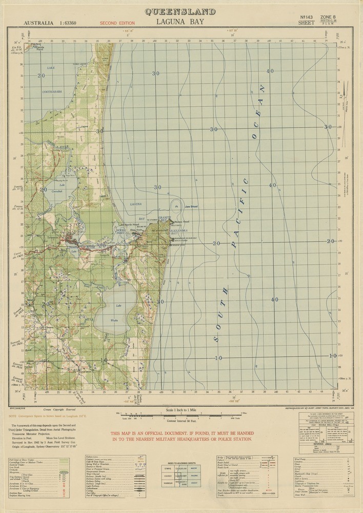
The State Library of Queensland holds a large number of beautiful maps that are very popular and are fondly known as the Australian Military series. The national series began in Victoria in1914, but the earliest Queensland sheet held at the Library is Brisbane 1937. These topographic maps were at a scale of I inch to a mile, or 1:63 360. A small number of Queensland sheets are at the scale of 1: 25 000, and larger number published from the 1940’s are 4 miles to 1 inch. Coverage on these topographic maps ranges from roads, railways, airports and smaller airstrips, railway lines, bridges, ground cover and density, lighthouses, schools and houses. The detail and time period of these maps make them invaluable for research – students of the built environment, historians, conservationists and even artists can enjoy using these colourful and informative maps. You can also read about the development of the military series in the book Australia’s Military Map-Makers, by C.D.Coulthard-Clark.
Comments
Your email address will not be published.
We welcome relevant, respectful comments.